Regional Atlas
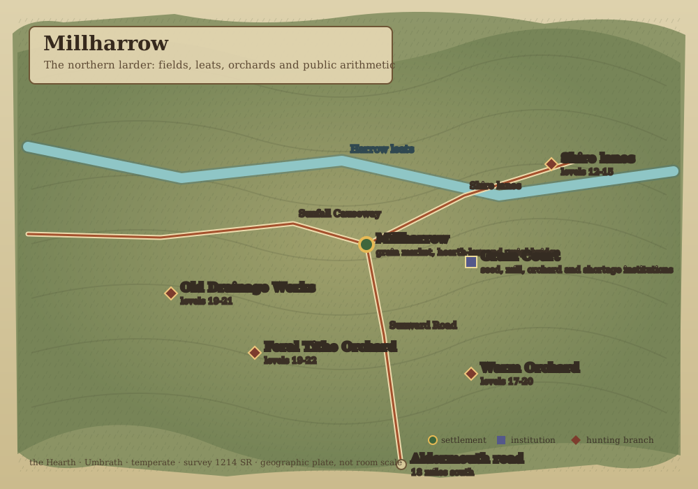
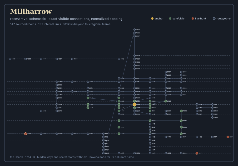
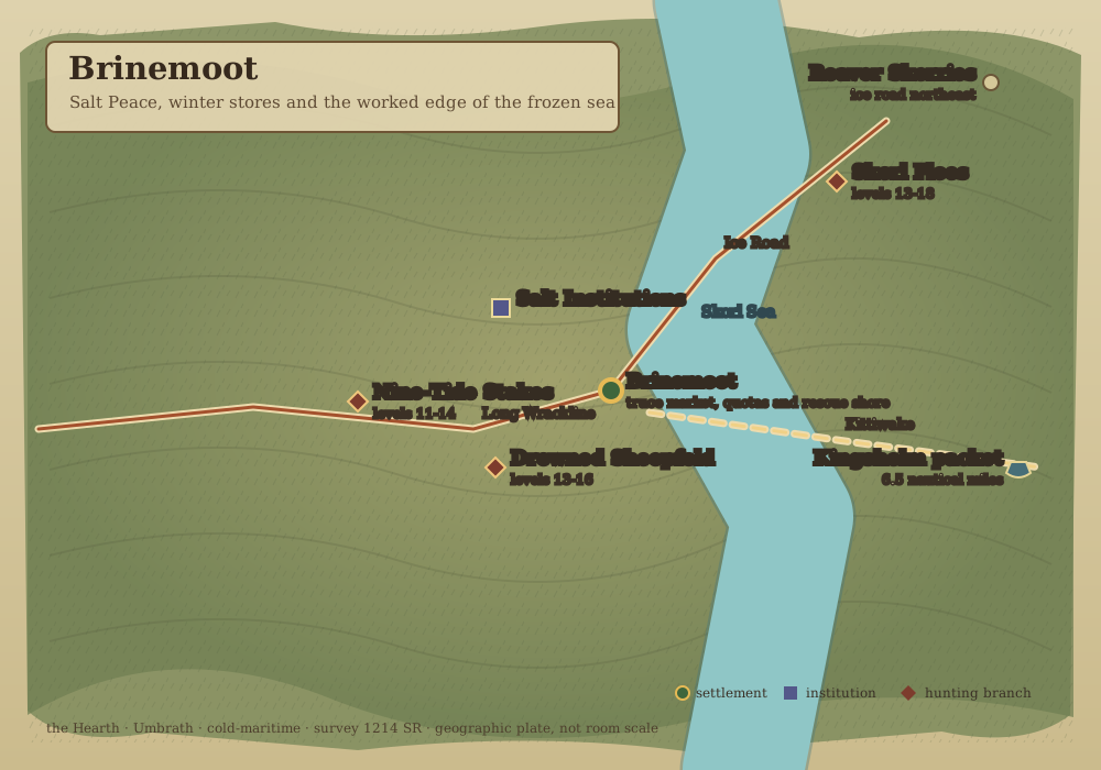
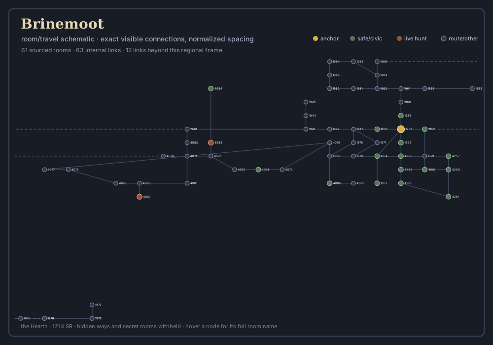
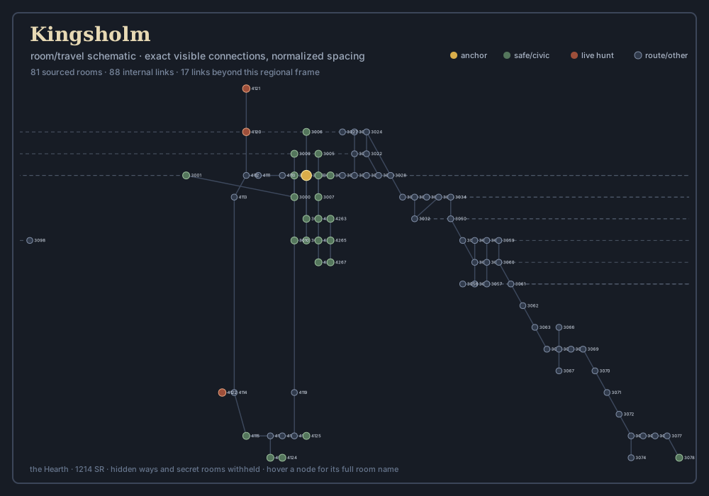
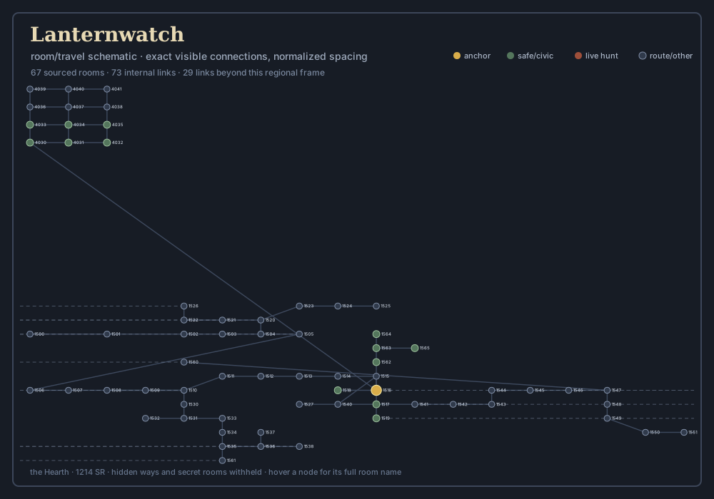
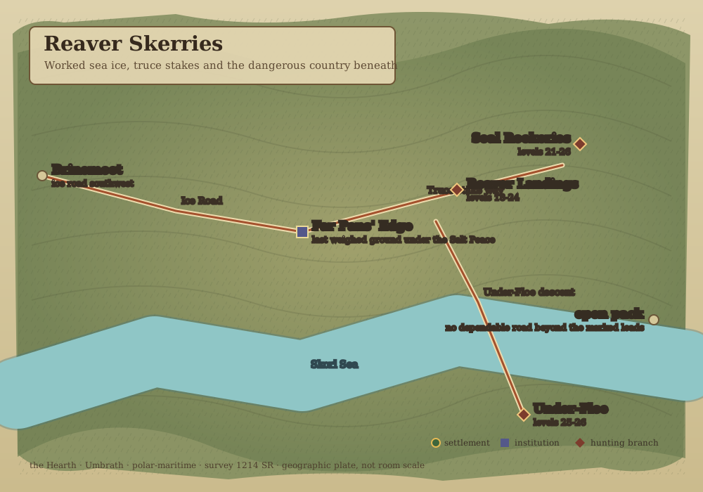
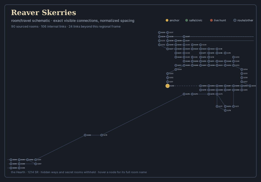
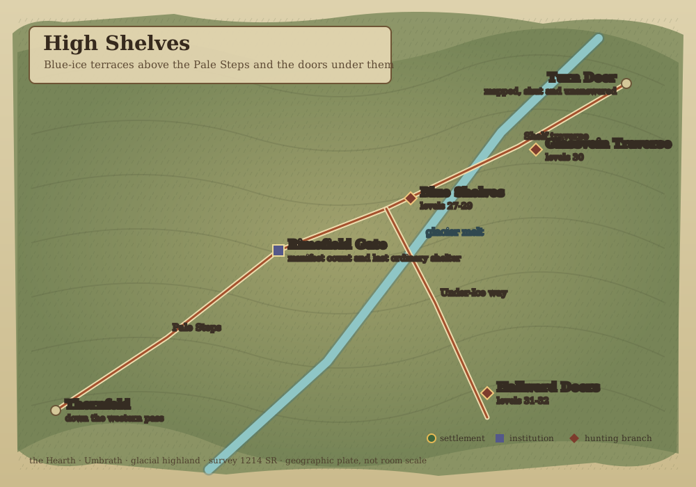
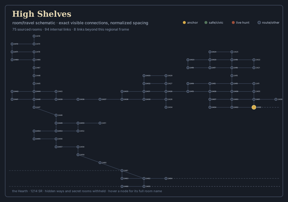
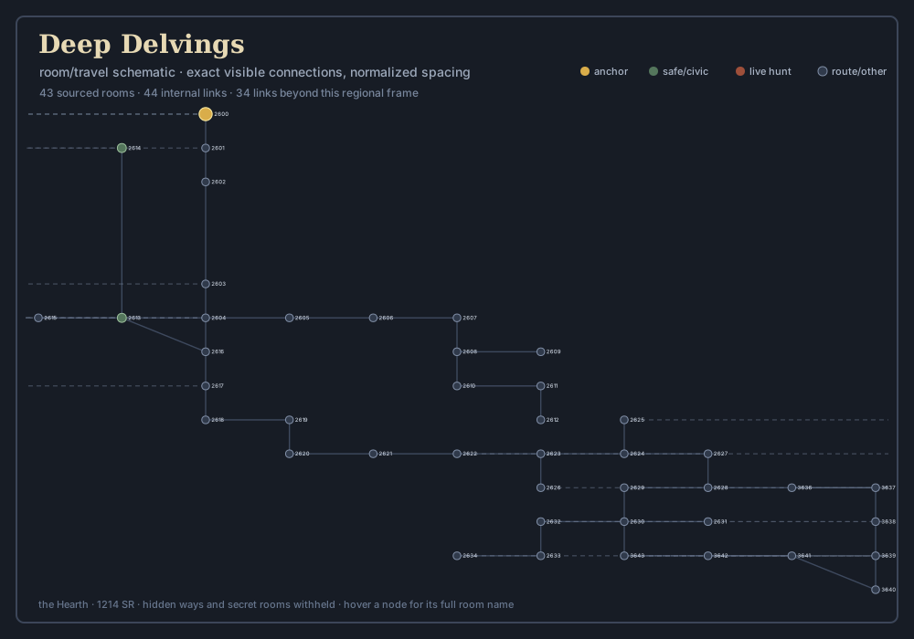
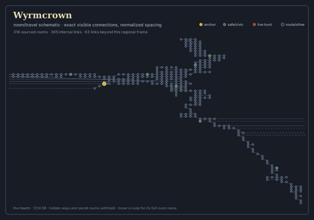
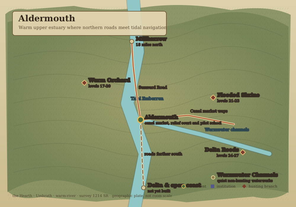
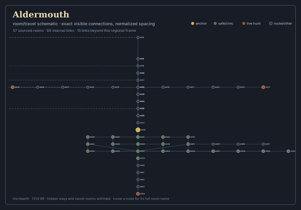
These are the Hearth's area maps in two complementary forms. The geographic plate explains terrain, settlement relationships, quiet travel trunks, civic institutions, ferries, and level-banded hunting branches. The room schematic shows the public travel graph: every dot is a room and every line is a visible connection. Saved world positions share one coordinate frame; new rooms are attached by their exits. Hidden ways, secret rooms and GM rooms are withheld.
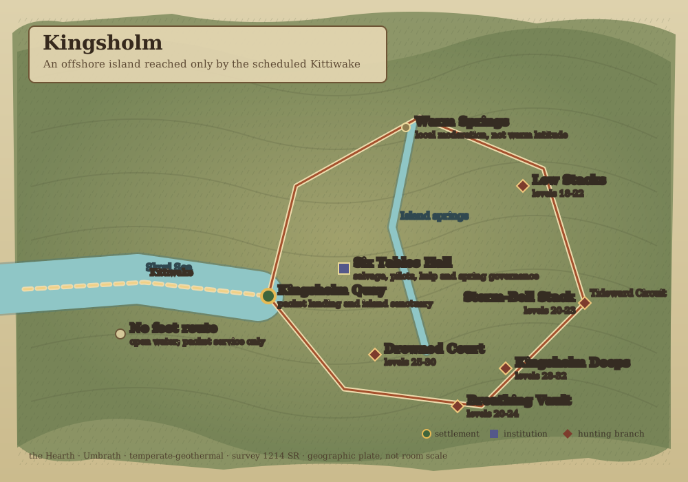
A named road without a hunting diamond is intentionally quiet. Hunting labels mark side pockets rather than turning the inter-town freight trunks into continuous combat corridors. Kingsholm's dashed approach is the scheduled Kittiwake, never a walkable bridge. Aldermouth is the warm upper-estuary threshold; the delta and open coast remain beyond the current room graph.
For verified progression routes, use The First Fifteen, then Three Roads After Fifteen for the mountain, coast and sunward level 16–30 lanes, and Roads Beyond Thirty for the distinct high fronts and contiguous Crownward ladder. For exact authored levels, habitats, taxonomy and local economic connections, use the Creature Field Guide.
| Region | Climate | Rooms on schematic | Maps |
|---|---|---|---|
| Coldhollow | frigid | 163 | geography · rooms |
| Emberford | temperate | 141 | geography · rooms |
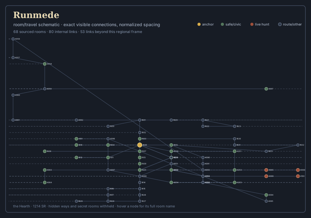
| Runmede | temperate | 68 | geography · rooms |
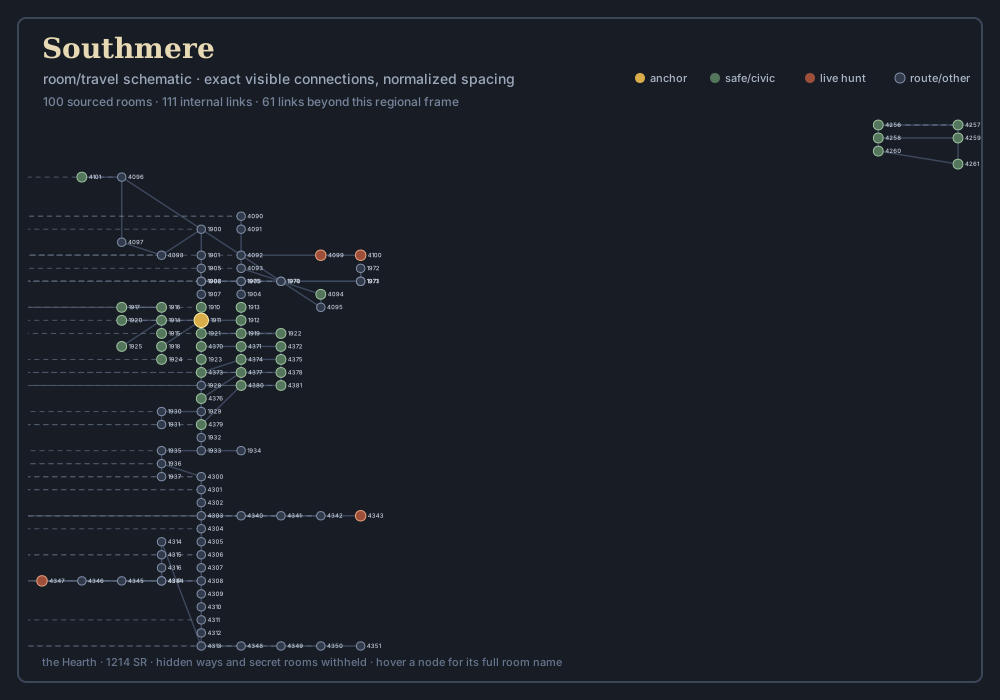
| Southmere | temperate | 100 | geography · rooms |
| Millharrow | temperate | 147 | geography · rooms |
| Brinemoot | cold-maritime | 61 | geography · rooms |
| Kingsholm | temperate-geothermal | 100 | geography · rooms |
| Lanternwatch | cold-subalpine | 67 | geography · rooms |
| Thornfold | frigid-upland | 116 | geography · rooms |
| Hollowrun | cold-river gorge | 70 | geography · rooms |
| Hammerdeep | subterranean-frigid | 113 | geography · rooms |
| Marchhold | cold-maritime march | 100 | geography · rooms |
| Reaver Skerries | polar-maritime | 90 | geography · rooms |
| High Shelves | glacial highland | 75 | geography · rooms |
| Deep Delvings | subterranean cold | 43 | geography · rooms |
| Wyrmcrown | extreme alpine and rift | 316 | geography · rooms |
| Aldermouth | warm-river | 57 | geography · rooms |
Coldhollow & the Inner Frostspine
A sheltered northern hollow beneath the hooked mountain wall.
Open geographic plate · Open room schematic · Read the regional chapter
-
Geographic area
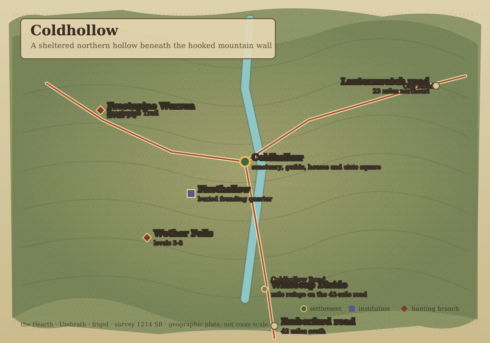
-
Room and travel schematic
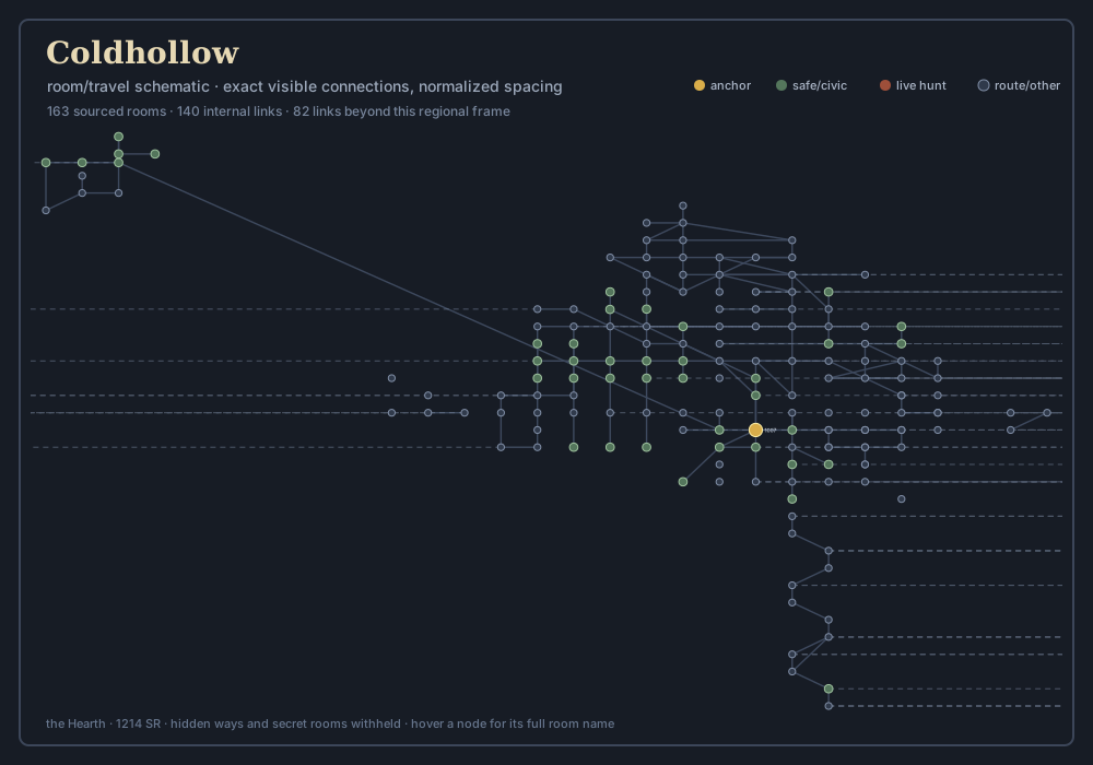
Emberford & the Southern River
River hub, orchards, marshes and the roads into the Thawlands.
Open geographic plate · Open room schematic · Read the regional chapter
-
Geographic area
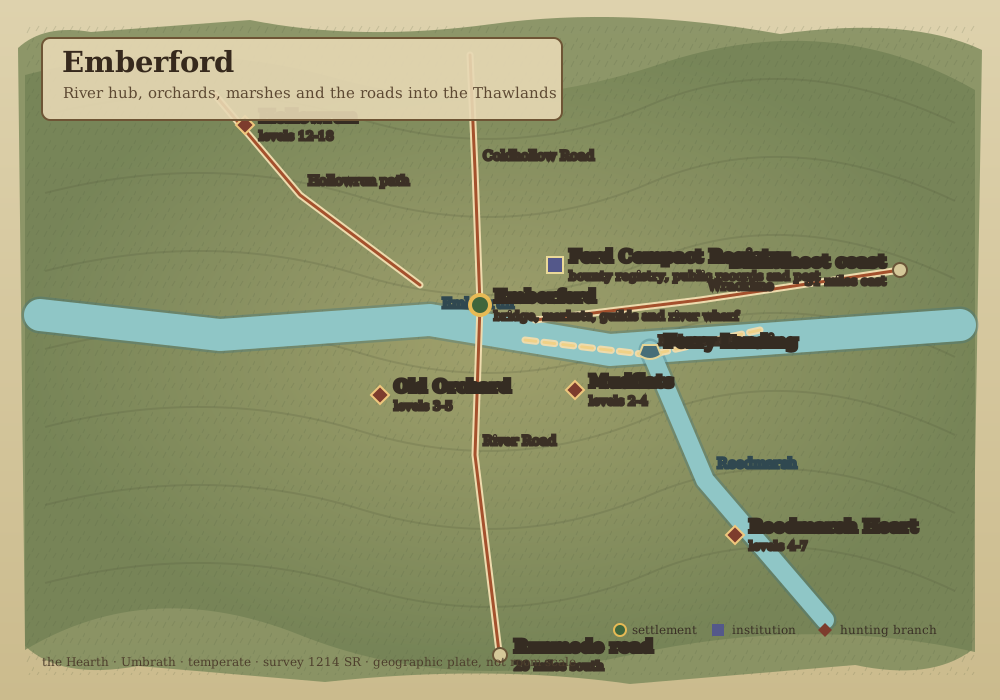
-
Room and travel schematic
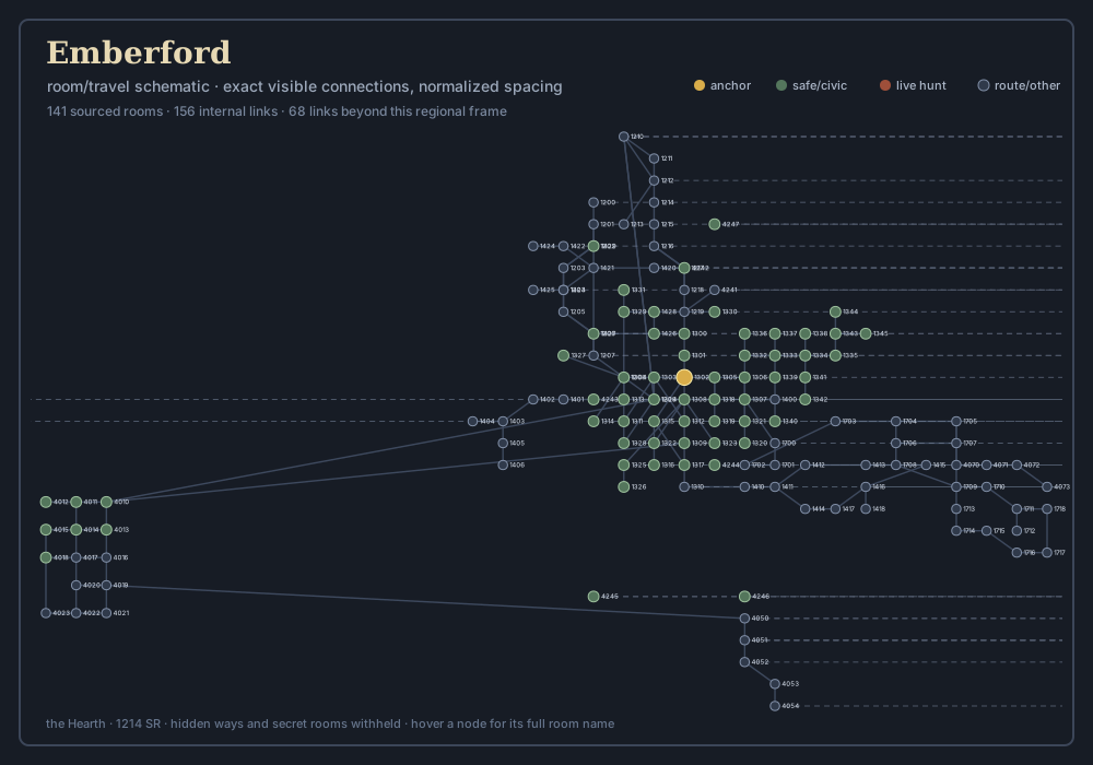
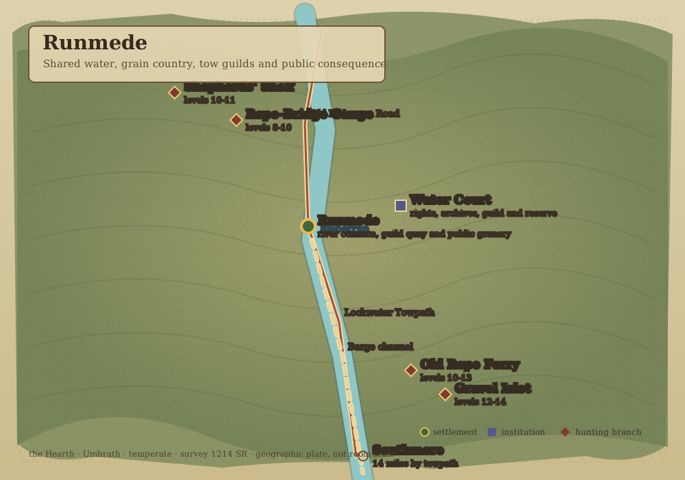
Runmede & the Working Emberrun
Shared water, grain country, tow guilds and public consequence.
Open geographic plate · Open room schematic · Read the regional chapter
-
Geographic area
-
Room and travel schematic
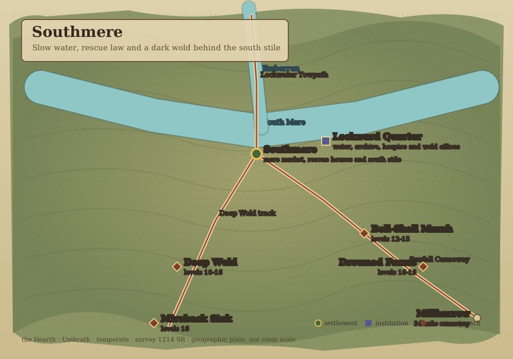
Southmere, the Mere & the Deep Wold
Slow water, rescue law and a dark wold behind the south stile.
Open geographic plate · Open room schematic · Read the regional chapter
-
Geographic area
-
Room and travel schematic
Millharrow & the Sunfall Shire
The northern larder: fields, leats, orchards and public arithmetic.
Open geographic plate · Open room schematic · Read the regional chapter
-
Geographic area
-
Room and travel schematic
Brinemoot, the Wrack Coast & Floes
Salt Peace, winter stores and the worked edge of the frozen sea.
Open geographic plate · Open room schematic · Read the regional chapter
-
Geographic area
-
Room and travel schematic
Kingsholm, the Drowned Isle
An offshore island reached only by the scheduled Kittiwake.
Open geographic plate · Open room schematic · Read the regional chapter
-
Geographic area
-
Room and travel schematic
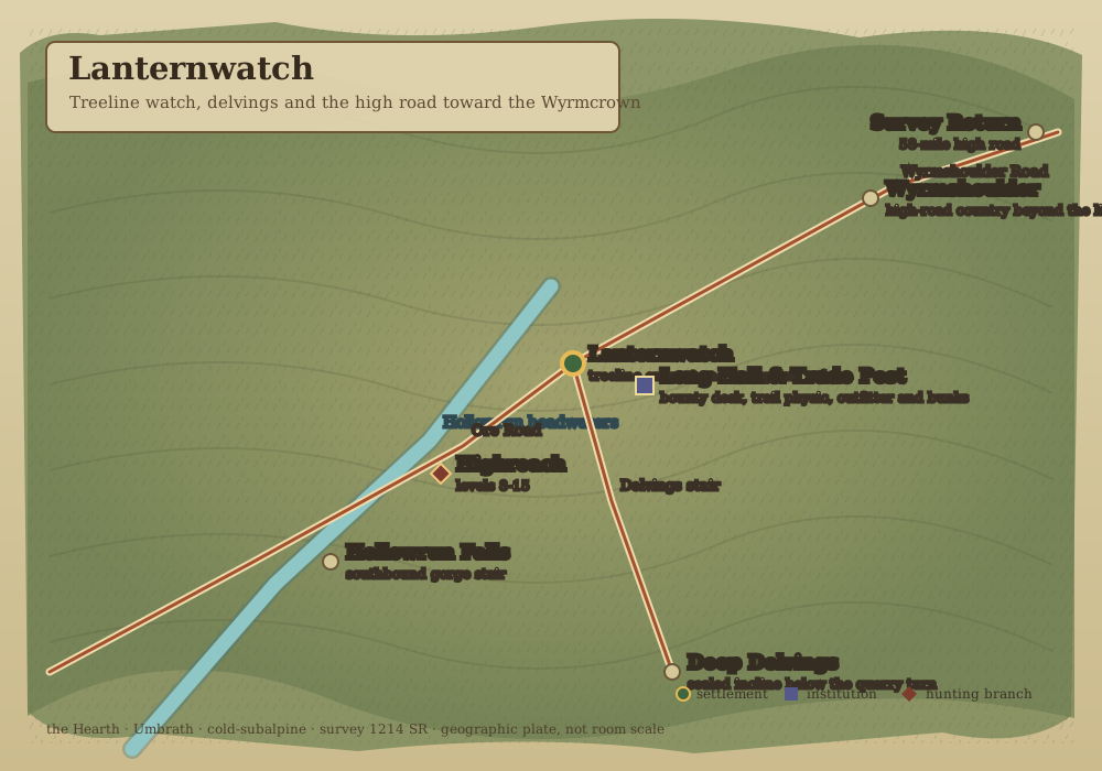
Lanternwatch & the Highreach
Treeline watch, delvings and the high road toward the Wyrmcrown.
Open geographic plate · Open room schematic · Read the regional chapter
-
Geographic area
-
Room and travel schematic
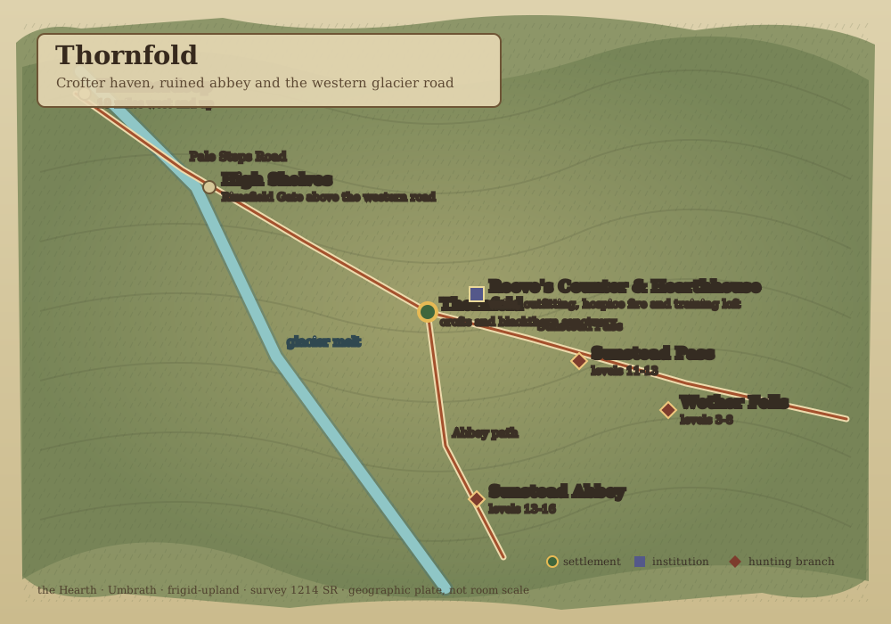
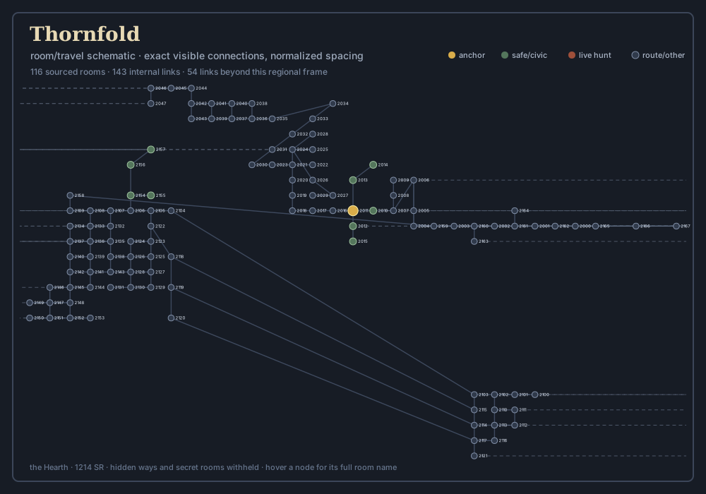
Thornfold & the Pale Steps
Crofter haven, ruined abbey and the western glacier road.
Open geographic plate · Open room schematic · Read the regional chapter
-
Geographic area
-
Room and travel schematic
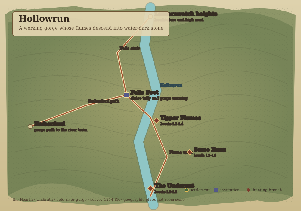
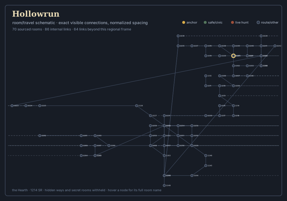
Hollowrun Falls & the Undercut
A working gorge whose flumes descend into water-dark stone.
Open geographic plate · Open room schematic · Read the regional chapter
-
Geographic area
-
Room and travel schematic
Hammerdeep & the Singing Veins
The working mother-hold and its resonant underways.
Open geographic plate · Open room schematic · Read the regional chapter
-
Geographic area
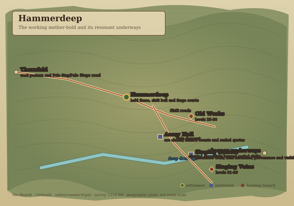
-
Room and travel schematic
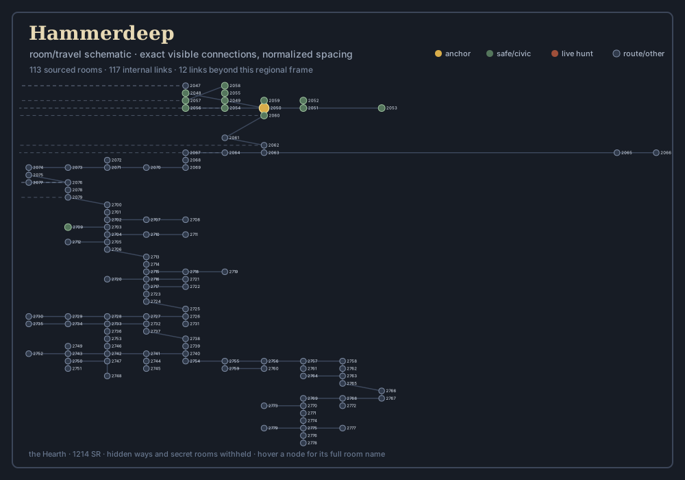
The Marchhold & the Toll Ruins
A cold east-bank castle where road law outlived its court.
Open geographic plate · Open room schematic · Read the regional chapter
-
Geographic area
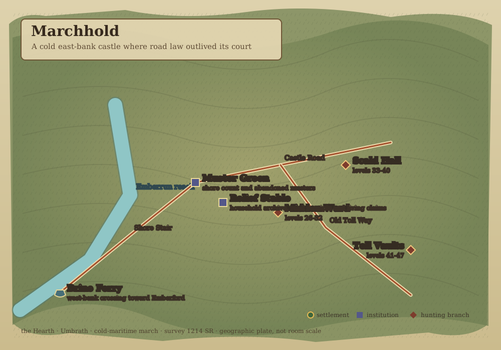
-
Room and travel schematic
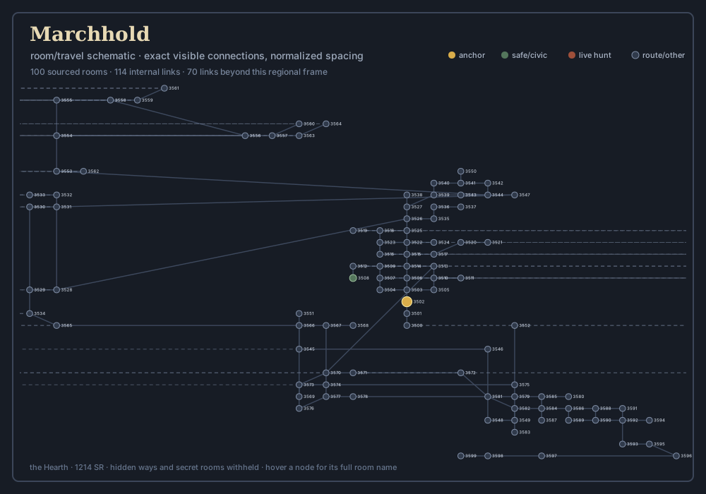
The Reaver Skerries & Under-Floe
Worked sea ice, truce stakes and the dangerous country beneath.
Open geographic plate · Open room schematic · Read the regional chapter
-
Geographic area
-
Room and travel schematic
The High Shelves & Rimefield Gate
Blue-ice terraces above the Pale Steps and the doors under them.
Open geographic plate · Open room schematic · Read the regional chapter
-
Geographic area
-
Room and travel schematic
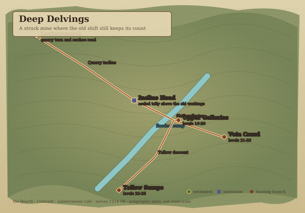
The Deep Delvings & Tallow Sumps
A struck mine where the old shift still keeps its count.
Open geographic plate · Open room schematic · Read the regional chapter
-
Geographic area
-
Room and travel schematic
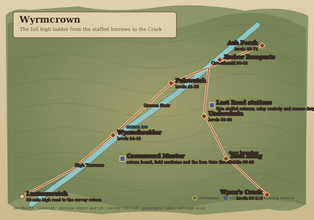
Wyrmshoulder & the Wyrmcrown
The full high ladder from the staffed barrows to the Crack.
Open geographic plate · Open room schematic · Read the regional chapter
-
Geographic area
-
Room and travel schematic
Aldermouth & the Sunward Threshold
Warm upper estuary where northern roads meet tidal navigation.
Open geographic plate · Open room schematic · Read the regional chapter
-
Geographic area
-
Room and travel schematic
Survey 1214 SR. Generated from content/geography/regional-atlas.json; hidden ways and secret rooms are withheld.